Welcome to the digital age of the utility excavation site!
If you work in a distribution utility and are in charge of managing excavation activities, you know how laborious on-site surveys are and how important precision is at this stage. Now, finally, you can change the way you work.
Find out how the 3D Photo Survey app can make surveying quick and easy, even to the point of entrusting it to field staff without any specific technical training!
All you need is 3D Photo Survey and a smartphone paired with a GNSS RTK.
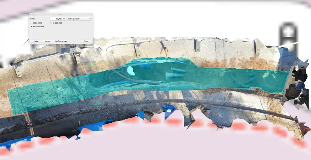
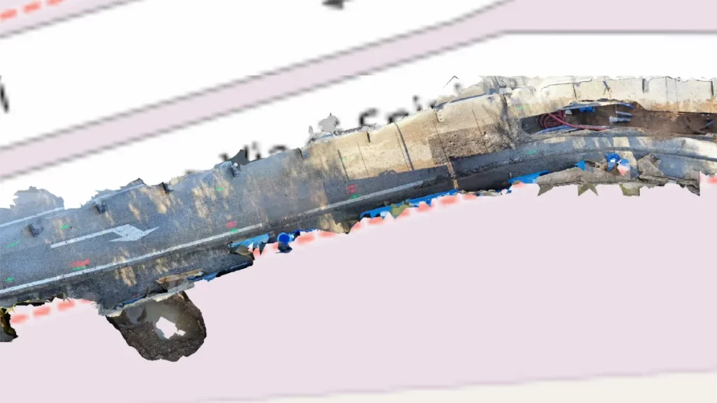
In just a few minutes on site you will obtain realistic 3D models, already georeferenced and oriented, on which you can carry out – in the present and in the future, when the excavation is closed – all measurements and analyses from the comfort of your office. A real mine of information, already in digital form, enabling new functions – also in augmented reality – for the digital transformation of your distribution utility.
Choose to save money and work better. 3D models of utility excavations and highly detailed orthophotos can now be obtained in minutes.