Categories
products

3D Photo Survey: standard 3D files that can be easily integrated into your corporate GIS

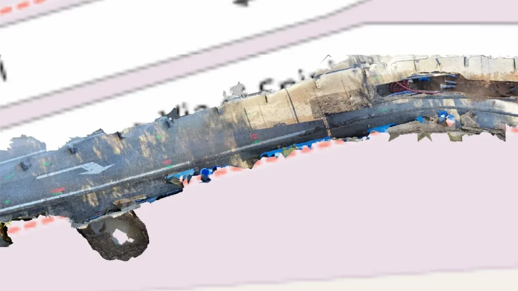
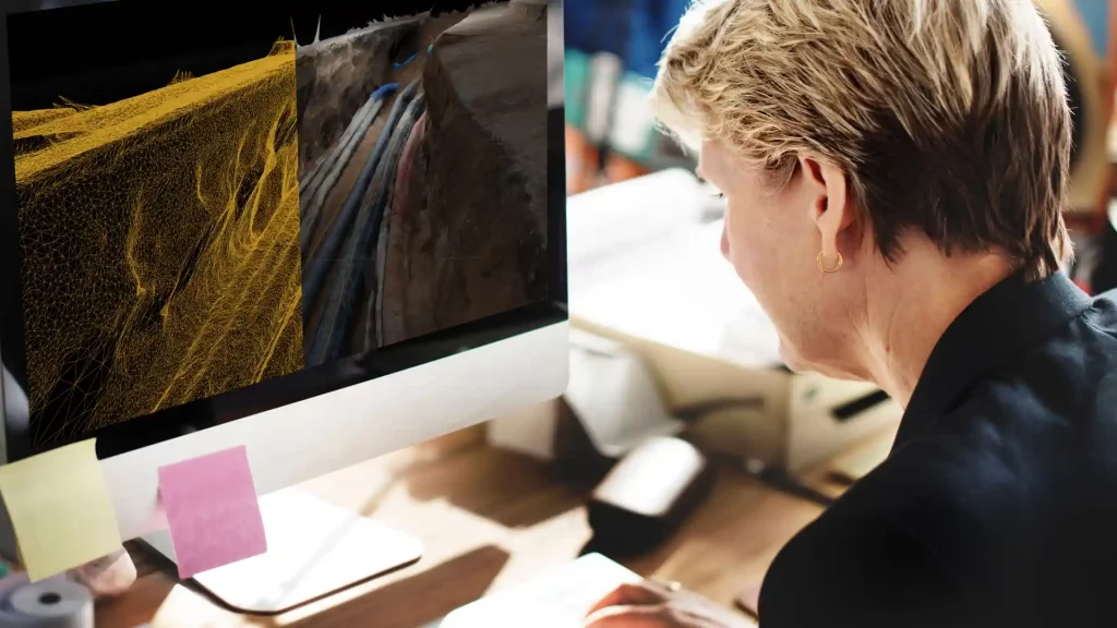
With 3D Photo Survey, you can conduct digital surveys on construction sites directly using your smartphone, obtaining precise, georeferenced, and oriented 3D models of your underground network infrastructure.

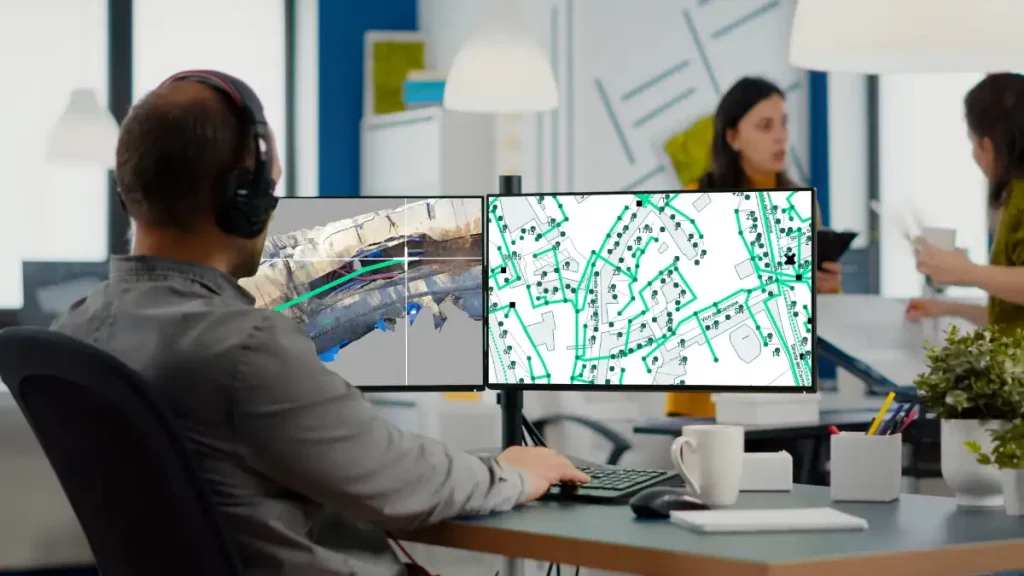
The files processed by the system are in standard formats and, as mentioned, already georeferenced, making them easy to import into your GIS. This allows you to build a precise digital mapping of all your network assets and perform analyses and measurements by accessing the 3D models directly from your corporate GIS!

Categories
products

3D Photo Survey to generate ultra-high-detail orthophotos

In managing distribution networks, Arcoda’s 3D Photo Survey is a valuable tool for multiple applications. One of these is the automatic processing of ultra-high-detail orthophotos of areas of interest. With this feature, you can effortlessly obtain images so detailed that they can be used for precise measurements and network mapping via your GIS – all without leaving the office.

This is just one of the applications made possible by this technology. If you want to learn more about all the other applications of 3D Photo Survey and how it works, please visit our website:

Categories
products

3D Photo Survey to map your networks

With 3D Photo Survey you can easily create 3D models of your networks. Discover how simple it is: all you need is a smartphone paired with a high-precision GPS!

These realistic, precise models —already georeferenced and oriented— have multiple uses. For example, from the comfort of your office, you can effortlessly map your networks in GIS. And this is just one of the applications made possible by this technology.