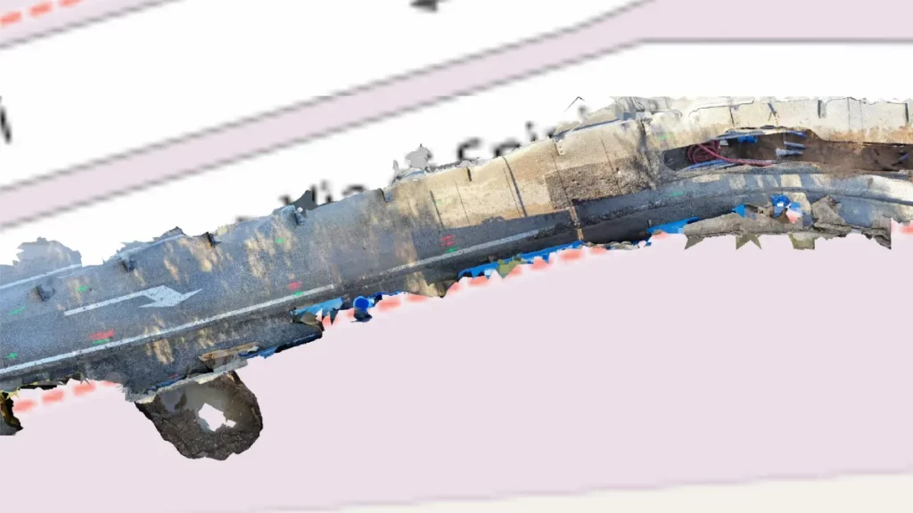
In managing distribution networks, Arcoda’s 3D Photo Survey is a valuable tool for multiple applications. One of these is the automatic processing of ultra-high-detail orthophotos of areas of interest. With this feature, you can effortlessly obtain images so detailed that they can be used for precise measurements and network mapping via your GIS – all without leaving the office.
This is just one of the applications made possible by this technology. If you want to learn more about all the other applications of 3D Photo Survey and how it works, please visit our website: