On Saturday, March 7, we had the pleasure of taking part in “From 0 to 10”, the event organized by Speck&Tech at Smart Lab in Rovereto to celebrate ten years of activity of the Trentino tech community.
An evening focused on the value of data
The event opened with a speech by Francesco Bonadiman, President and founder of the Association, who retraced the origins and growth of the Speck&Tech community over the past decade. From a small meetup of enthusiasts to an increasingly broad network of people interested in technology and innovation: a journey that highlights the importance of creating spaces for exchange and collaboration at a local level.
This was followed by a talk from Donata Columbro, journalist and data culture expert, who explored the concept of data non-neutrality, explaining how data can reinforce discrimination and stereotypes, and how artificial intelligence often risks reflecting existing human biases.
The evening continued with a contribution from Stefano Gatti, data and AI expert and Head of Data & Analytics at Nexi, who provided further insights into the relationship between technology, data, and society.
As per Speck&Tech tradition, the event concluded with an informal networking session: pasta, beer, and a DJ set — valuable opportunities to continue discussions and exchange ideas.
Arcoda’s commitment to a more inclusive digital ecosystem
During the event, Daniele Sevegnani represented Arcoda, emphasizing how closely the themes discussed align with our values. We believe that technology and data should actively promote inclusion and equality. In this context, our company was among the first to obtain gender equality certification — a milestone that represents not only formal recognition, but above all a concrete commitment to building an equitable working environment that values diverse skills and perspectives.
Being part of “From 0 to 10” was also an opportunity for us to further engage with the local tech community, with whom we share a strong passion for innovation and digital technologies. At our booth, we had the pleasure of meeting many members of the community — professionals, students, and tech enthusiasts — who showed great interest in learning more about our organization.
We would like to thank Speck&Tech for organizing the event and for their ongoing commitment to fostering meaningful connections between people, ideas, and technology.
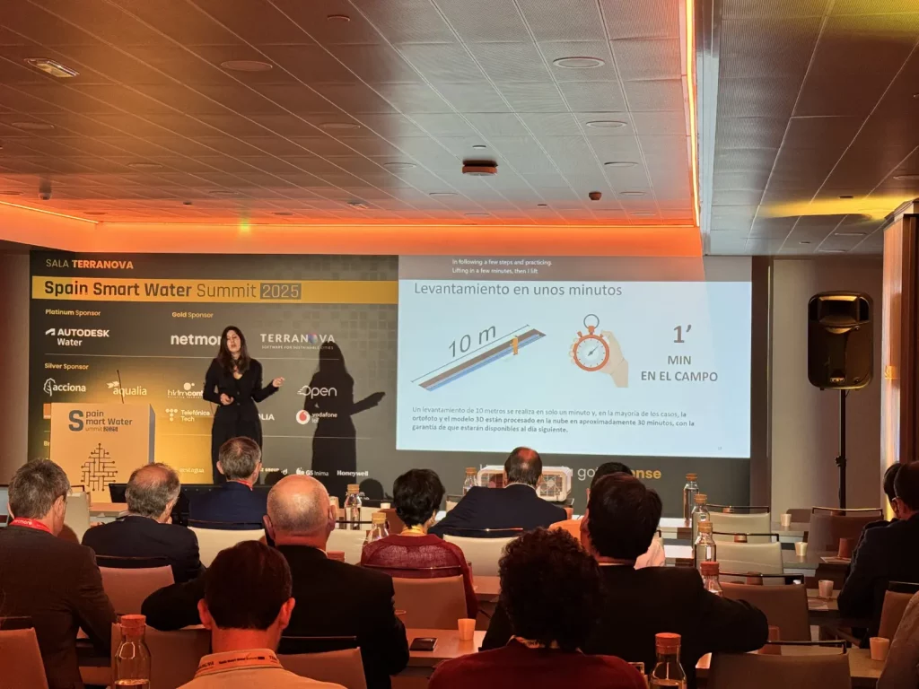
Photos © Edoardo Meneghini for Speck&Tech