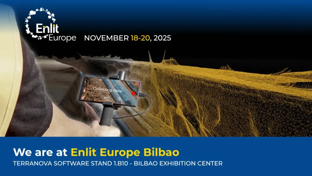
We are at Enlit Europe 2025 in Bilbao, the major event that connects industries, inspires action, and supports Europe’s evolution toward a fully decarbonised and digitalised energy system for the energy transition.
Visit us at Terranova stand (1.B10, Hall 1) and discover how you can transform your business and contribute to the digital transition toward a more sustainable and innovative world.
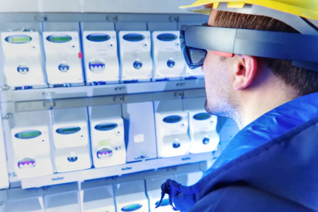
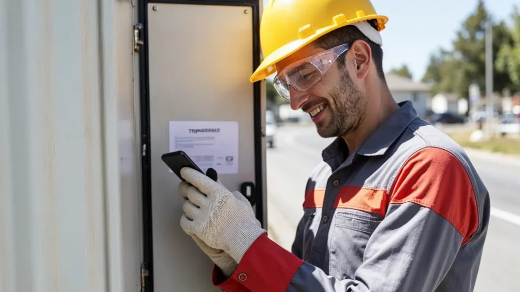
You will discover 3D Photo Survey, the Arcoda app that enables you to perform digital surveys directly from your smartphone.
How does 3D Photo Survey work?
It is an app that, with just a few minutes on site, will allow you to carry out expeditious site surveys. In this way, those who manage the distribution network will easily have at their disposal precise and already georeferenced and oriented 3D models of underground utilities and excavations. In addition, the same app will allow you to obtain orthophotos with very high detail, without the need for aerial equipment.
➡️ Get your free Expo Pass or enjoy an exclusive discount on a Summit Pass: https://lnkd.in/gSVeHVTe