Categories
Corporate Arcoda

3D Photo Survey: challenge successfully completed!

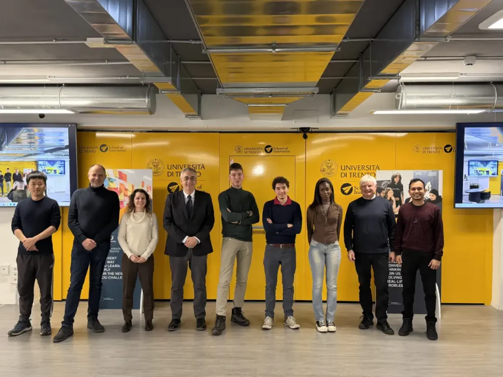
We would like to thank the University of Trento, EIT Digital, and HIT – Hub Innovazione Trentino for the recently concluded challenge, which gave us the opportunity to participate by presenting a concrete case study to a group of university students.

The challenge: 3D Photo Survey – making the tangible benefits of this innovative technology easier to understand.

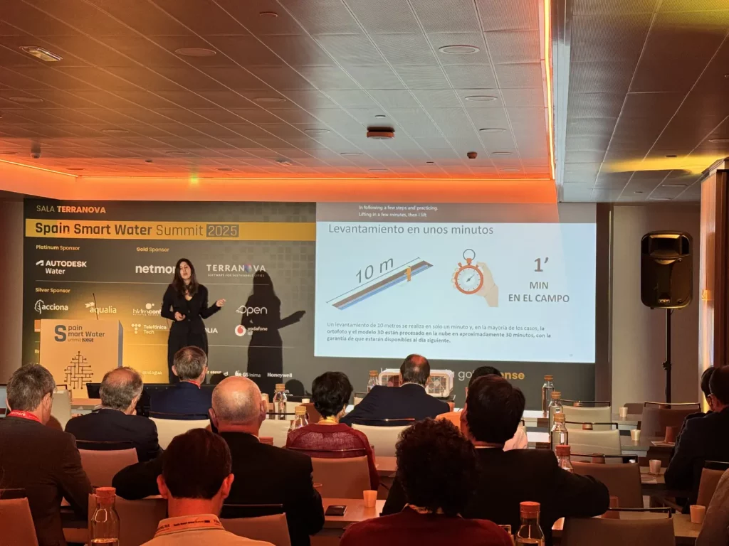
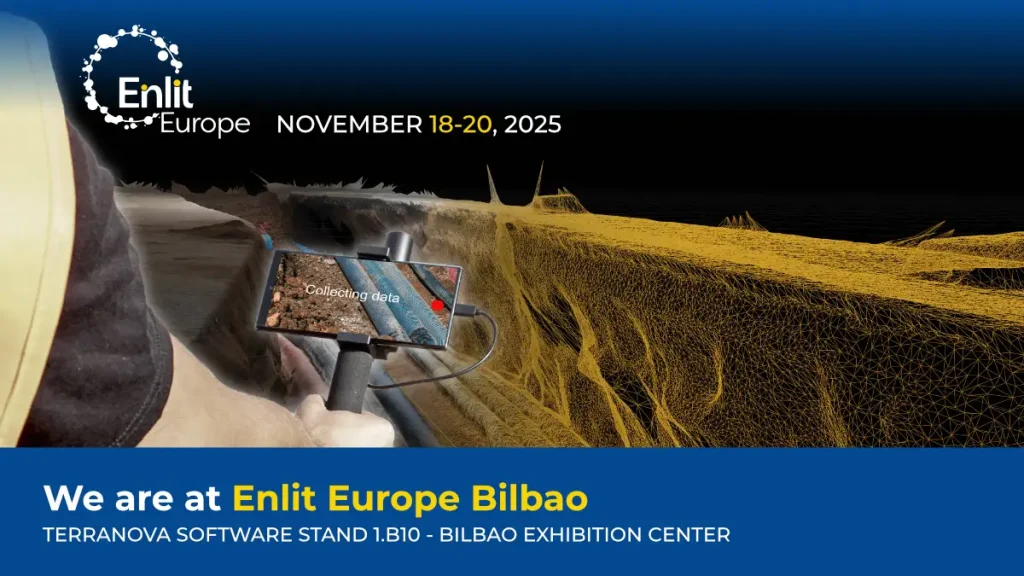
The challenge we proposed focused on 3D Photo Survey, our latest software solution for utility distribution companies. This is a mobile application that enables field operators to carry out utility excavation site surveys directly using a smartphone. The App generates 3D models and orthophotos of underground infrastructures (such as pipelines, valves, joints, ducts, and cable conduits). These data prove to be extremely valuable both during excavation activities and for future use, once the excavation site has been completed and the network infrastructures are buried and therefore no longer accessible.

As a highly innovative product— capable of redefining well-established operational processes — it is not always easy, when engaging with potential new users, to fully convey its concrete advantages. For this reason, we considered it an interesting topic to propose as a case study.

Over the past few months, the working group— composed of students Arif Hasan Apu, Bénie Nshimirimana, Da Li, Raffaele Spista, Wail Ameur, and supported by Prof. Maurizio Marchese and other experts — developed an in-depth and highly valuable analytical report. We are confident this work will help us communicate the value of the technology we have developed even more effectively.

Our sincere thanks go to the students, coordinators, and institutions that made this collaboration possible.

Categories
events

Now available on YouTube our presentation at the Spain Water Summit 2025

Spain Smart Water Summit 2025

The Spanish-language recording of the Terranova–Arcoda presentation at the Spain Water Summit 2025 is now available on YouTube. The event represents a key forum for discussion on innovation, digitalisation and operational management within the urban water cycle.

During the event, held in Madrid last September, Arcoda had the opportunity to present 3D Photo Survey, our application designed to carry out digital surveys of utility excavation sites directly from a smartphone, using images captured on site with the device’s camera.

In her presentation, our sales consultant Ana Serna highlighted how the system enables the collection of a large amount of technical information in just a few minutes, including:

  • Accurate measurements of lengths, diameters, depths, surfaces and volumes;
  • Identification of materials and interferences with other networks;
  • Generation of high-resolution 3D models and orthophotos, accessible through a web-based cartographic portal.

Thanks to the publication of the video, the content of the presentation is now accessible not only to event attendees, but also to all distribution utility professionals interested in gaining deeper insight into the digitalisation of utility excavation sites.

Read the article and watch the full video (in Spanish)

Categories
events

We are at Enlit Europe 2025 – Bilbao

We are at Enlit Europe 2025 in Bilbao, the major event that connects industries, inspires action, and supports Europe’s evolution toward a fully decarbonised and digitalised energy system for the energy transition.

Visit us at Terranova stand (1.B10, Hall 1) and discover how you can transform your business and contribute to the digital transition toward a more sustainable and innovative world.

You will discover 3D Photo Survey, the Arcoda app that enables you to perform digital surveys directly from your smartphone.

How does 3D Photo Survey work?

It is an app that, with just a few minutes on site, will allow you to carry out expeditious site surveys. In this way, those who manage the distribution network will easily have at their disposal precise and already georeferenced and oriented 3D models of underground utilities and excavations. In addition, the same app will allow you to obtain orthophotos with very high detail, without the need for aerial equipment.

➡️ Get your free Expo Pass or enjoy an exclusive discount on a Summit Pass: https://lnkd.in/gSVeHVTe