Categories
products

3D Photo Survey to make surveys of your underground infrastructure in augmented reality

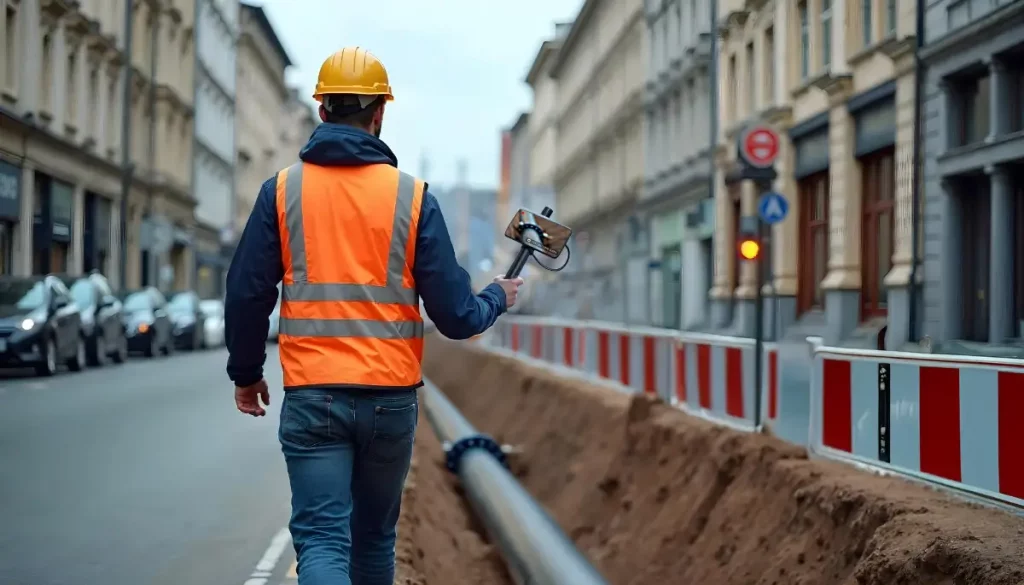
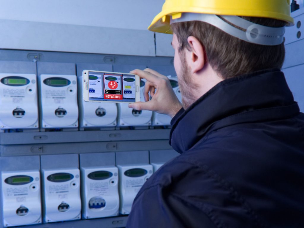
One of the many uses of 3D Photo Survey is conducting AR surveys of underground infrastructure and their precise relocalisation.

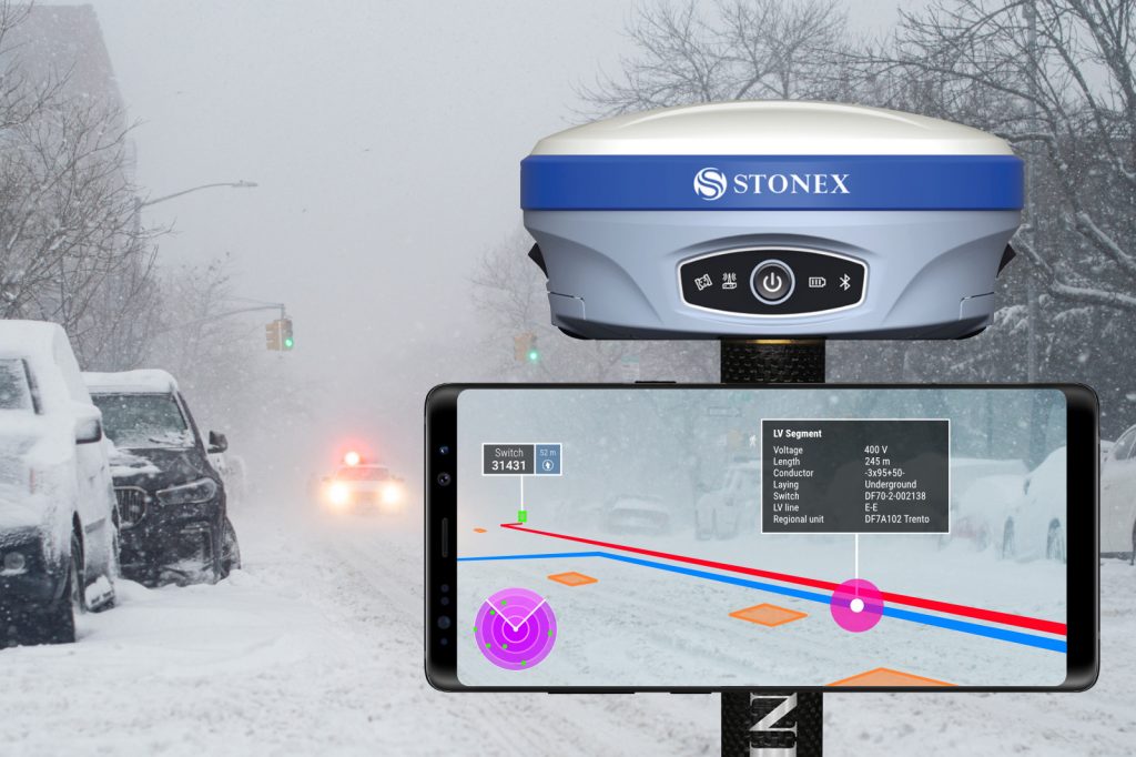
When the excavations is closed, visualizing holograms of infrastructure buried beneath the road surface allows operators to work safely and accurately. Choose to work smarter!

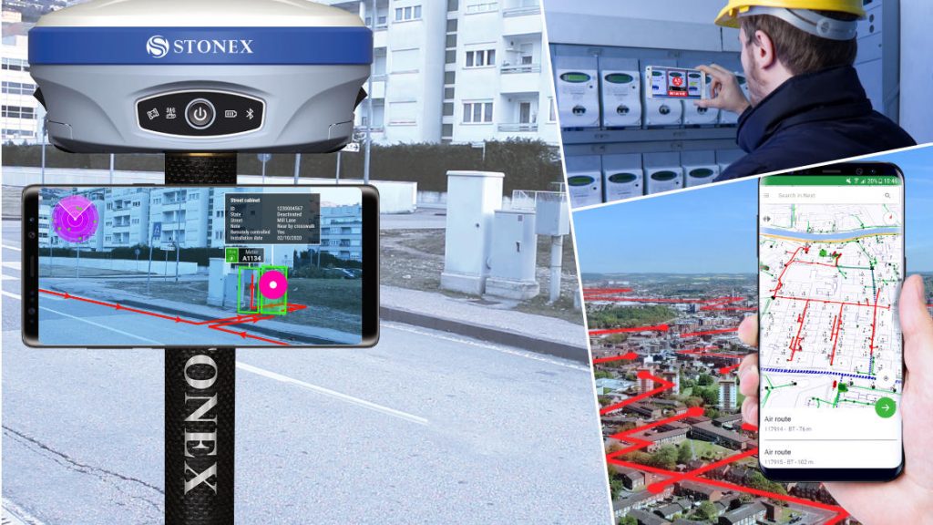
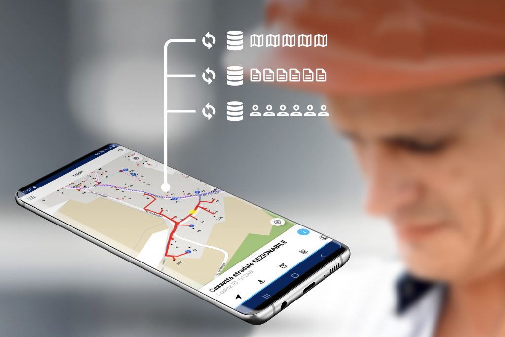
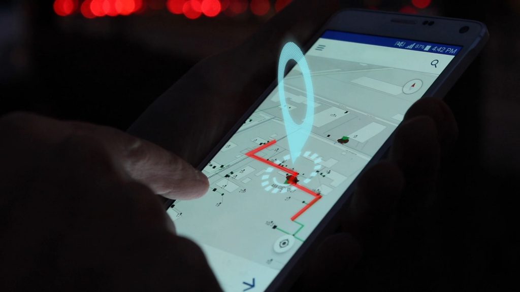
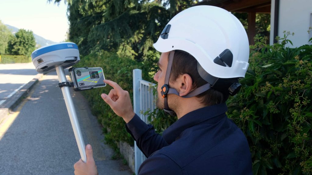
How does 3D Photo Survey work?

Using a smartphone paired with a high-precision GPS, holograms of underground infrastructure are overlaid precisely onto the road surface, visually guiding operators during interventions. This reduces the risk of damaging or breaking the network, avoiding service interruptions. Safety also improves: acting on precise, reliable information minimizes risks for operators!

To learn about all the applications of 3D Photo Survey in network management, click here:

Categories
products

3D Photo Survey – Expeditious excavation survey

Innovation for utilities is taking giant leaps! With 3D Photo Survey you can survey excavations in a fast and easy way.

How?

Launch the 3D Photo Survey app, follow the instructions, and capture images of the excavation site. The images are sent to the server, which processes them to automatically generate a precise  and realistic 3D model of the utility excavation—perfectly georeferenced and oriented.

What are the archived 3D models used for?

They serve multiple purposes, supporting both back-office activities (providing all digital geometric data) and field operations. After backfilling, field workers can even use augmented reality on their smartphones paired with a precision GPS to relocalise underground infrastructure.

Additionally, conducting multiple surveys over time creates a series of models, enabling step-by-step analysis of work progress (e.g., displacements objects) and documenting hidden or relocalised elements compared to the initial state.

The uses of this innovative app are many. To find out about the other uses of 3D Photo Survey in distribution network management, visit our site:

Categories
events products

Arcoda at Enlit Europe 2021

Come visit Arcoda at Enlit Europe 2021 and discover how the Next app can be the winning choice to revolutionize the work on the networks of field-based teams. Arcoda Next allows you to assess the status of grids, collect data and send feedback from the field to support decision making. Next is incredibly fast, even over Millions of records. Performance without compromise! All data needed to support on-site interventions, securely on the operator’s smart device, and always available even when off-line. In addition, with modules that use augmented reality technology directly on the phone, the app is at the forefront of technology and will offer you a whole new way to interact with network assets. Come to visit us. We’ll be happy to show you all the innovative features of this app and why it can represent a digital revolution in the activities of field-based operators.

  • Arcoda Next
  • integrazione di Arcoda Next con i dati aziendali
  • Lettura dei contatori tramite smartphone
  • Mobile GIS

Enlit Europe 2021