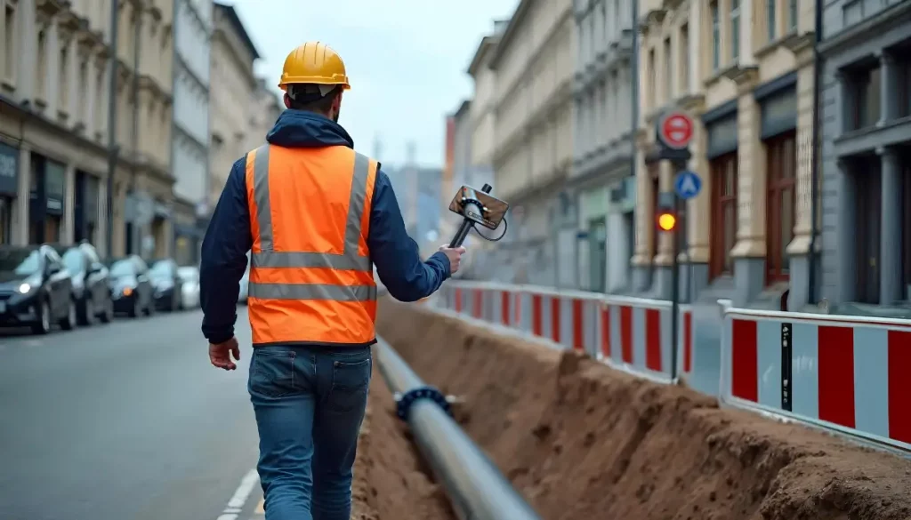
Innovation for utilities is taking giant leaps! With 3D Photo Survey you can survey excavations in a fast and easy way.
How?
Launch the 3D Photo Survey app, follow the instructions, and capture images of the excavation site. The images are sent to the server, which processes them to automatically generate a precise and realistic 3D model of the utility excavation—perfectly georeferenced and oriented.
What are the archived 3D models used for?
They serve multiple purposes, supporting both back-office activities (providing all digital geometric data) and field operations. After backfilling, field workers can even use augmented reality on their smartphones paired with a precision GPS to relocalise underground infrastructure.
Additionally, conducting multiple surveys over time creates a series of models, enabling step-by-step analysis of work progress (e.g., displacements objects) and documenting hidden or relocalised elements compared to the initial state.
The uses of this innovative app are many. To find out about the other uses of 3D Photo Survey in distribution network management, visit our site: