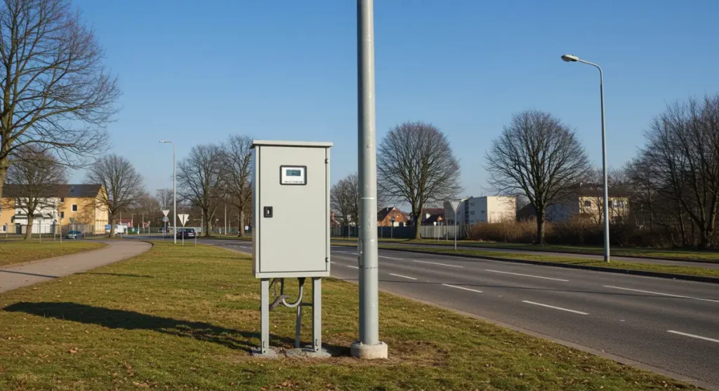
Categories
products

Water meter data immediately on the smartphone, in augmented reality.

With a special module of Next, the Arcoda app dedicated to supporting the field workers, field staff can check individual meters simply by framing the relevant barcode or QR code with their smartphone camera. Arcoda Next, in augmented reality, will superimpose contract and meter data on the meter itself, providing the operator with the information he needs. The fastest, easiest and most natural way to get information from meters!

Categories
products

Relocalising underground infrastructure after excavation is closed: a challenge for utilities

Utilities tasked with relocalising underground infrastructure, after excavation has been closed, face significant complexities, leading to higher operational costs.

Once the excavation is backfilled, underground infrastructure is no longer visible, making inspection difficult without reopening the site. This entails bureaucratic delays and the logistical costs of setting up a new excavation site.

Current technologies do not always provide a solution. For example, ground-penetrating radar (GPR) has limitations related to depth, backfill materials, and interference, often making it impossible to detect anomalies without reopening the site.

To overcome these challenges, it is mandatory to adopt effective strategies.

If surveys, conducted before excavation closure, lack precision, incomplete or inaccurate data may result, complicating the exact relocalising of network infrastructure.

The accuracy of these operations directly impacts future excavation and maintenance work. Poor initial surveys increase the risk of damaging underground networks and jeopardize the safety of workers and consumers.

The solution? Digitize data before excavation is closed with 3D Photo Survey

Advanced surveying technologies, data digitization, and improved documentation quality before excavation closure can enhance efficiency and reduce errors.

The 3D Photo Survey app simplifies excavation digitization through a fully automated, user-friendly process. It generates a 3D model of the excavation, accessible on-site, in back-office, or directly within the company’s GIS.

No specialized technical skills are required: a smartphone paired with a GNSS-RTK receiver is all that’s needed to scan the site. The app uploads images – tagged with time and geographic data – to the cloud, where they are processed into georeferenced 3D models and ultra-high-resolution orthophotos.

With these models, from their desks when the excavation is closed, employees will be able to take precision measurements directly on digital models, map their network and have a ‘digital cadastral database” of their assets.

Digital models remain permanently accessible in GIS, in standard formats, for:

  • Future inspections without reopening the excavation.
  • Detailed reporting of completed excavations and restorations.
  • Reliable and accurate measurements computation directly on digital models.

With 3D Photo Survey, relocalising underground infrastructure becomes fast and cost-effective!

Categories
products

Did you know that you can achieve more from your network data?

For utilities, distribution network data (GIS, document management, CRM, etc.) are crucial for managing their operations.

A quality digital data base is built over time, and is the result of significant investments in technology, process reorganisation and know-how building. It is therefore important to try to get the most out of the wealth of information that has been built up over time, which is why utilities decide to adopt the Arcoda Next app.

Thanks to this app and based on the data already available, network distributors get new, highly innovative functionalities, and make them available directly in the hands of field workers.

If, until now, your operators interacted with the company’s GIS with their smartphone, with Arcoda Next they will discover the full power of an app that can go one step further. Next connects information from your various GIS, ERP, CRM, document management systems and so on, integrating it into a single app that will harness this data to offer a range of innovative features.

Discover, for example, augmented reality on smartphones, which will allow your operators to explore distribution networks in a more realistic and immersive way.

Stability and performance are also outstanding: Next does not need internet connectivity, because it is a specially designed application that works 100 per cent server-independent.

Make the most of your data. Choose productivity. Choose Arcoda Next.