Categories
events

We are at Enlit Europe 2024 – Milan

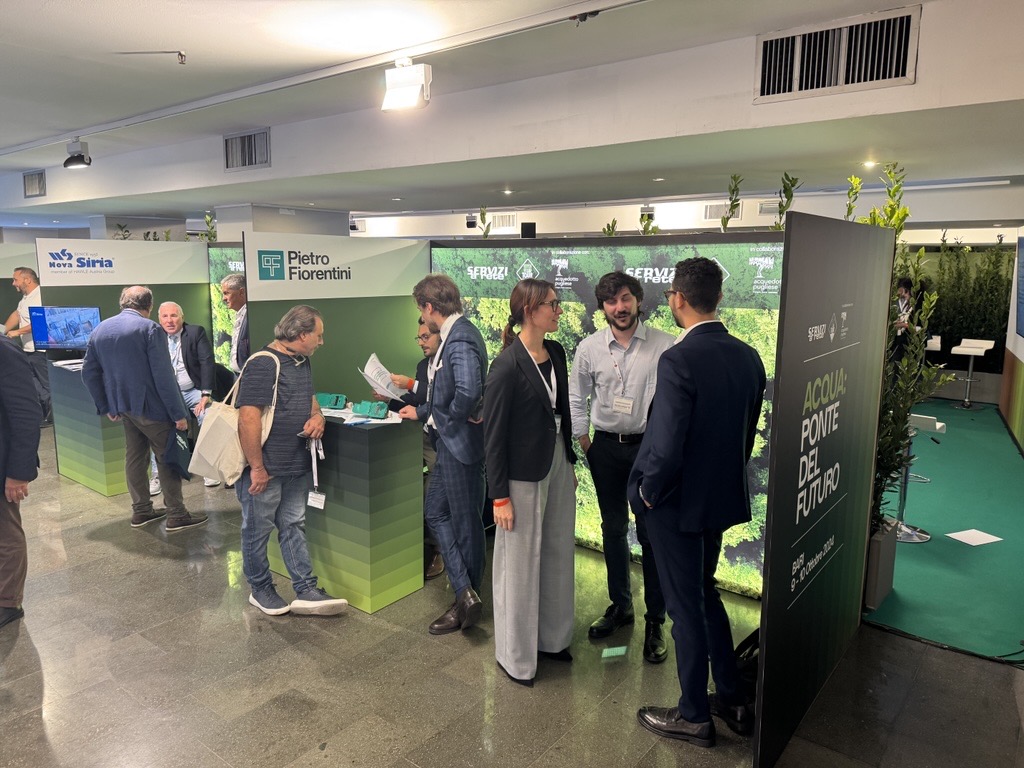
We are at Enlit Europe 2024! Come visit us in Milan to discover 3D Photo Survey, the Arcoda app that allows you to survey digitally directly from your smartphone.

You will find us at two stands:

  • Gridspertise stand (stand 6.G70)
  • Pietro Fiorentini / Terranova stand (stand 6.B70)

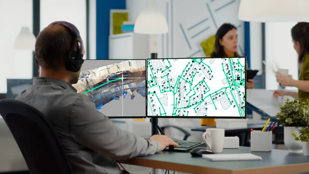
What is 3D Photo Survey?

It is an app that, with just a few minutes on site, will allow you to carry out expeditious site surveys. In this way, those who manage the distribution network will easily have at their disposal precise and already georeferenced and oriented 3D models of underground utilities and excavations. In addition, the same app will allow you to obtain orthophotos with very high detail, without the need for aerial equipment.

Categories
products

With 3D Photo Survey you can quickly perform the mapping of your network infrastructure

For utilities, mapping network infrastructure is crucial, both for immediate purposes like reporting completed work and for future inspections.

With the 3D Photo Survey app, you can now conduct surveys at excavation sites quickly and easily, obtaining georeferenced and oriented 3D digital models of your network assets. These models also provide underground infrastructure mapping, allowing you to perform all current and future measurements you need directly from the office. Additionally, once the excavation is backfilled, you can accurately and effortlessly relocalise these assets whenever needed.

And this is just one of the many applications of 3D Photo Survey.

Discover how this app can revolutionize your work on distribution networks!

Categories
events

We are at Servizi a rete Tour 2024 – Come and discover surveying with your smartphone

We are at Servizi a rete Tour 2024, the event dedicated to institutions, operators and technicians involved in network and underground utility management.

Come and visit us in Bari (Nicolaus Hotel), at the Pietro Fiorentini stand, and discover how easy it can be to carry out expeditious surveys of excavation sites directly with your smartphone. You will be able to obtain 3D models of your underground utilities and orthophotos in very high detail with just a few minutes on site, and enable numerous functions.