Categories
events

Arcoda at Ecomondo 2025 – Satellite localization for environmental management

In a sector that faces the daily challenges of sustainability and increasingly digitalized regulations and processes, it’s essential to make the right choices and rely on trusted technology partners capable of guiding your utility towards the future.

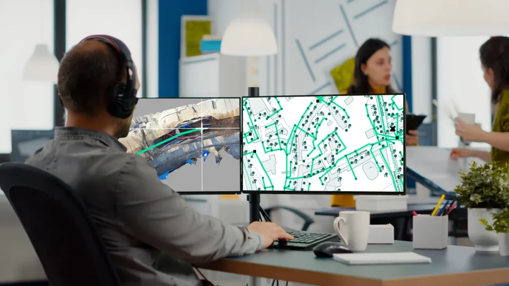
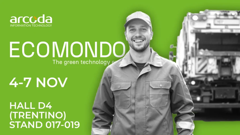
From November 4 to 7, visit us at Ecomondo 2025 to discover how satellite localization, mapping, and asset management can transform your waste collection and urban sanitation processes, helping you achieve your technical quality and sustainability goals.

You’ll find us in Hall D4 (Trentino Area) at the Arcoda stand 017–019, together with our partners DNA Ambiente – Terranova Software, Ambiente.it, Sartori Ambiente, Junker, and HPA.

Categories
products

With 3D Photo Survey you can quickly perform the mapping of your network infrastructure

For utilities, mapping network infrastructure is crucial, both for immediate purposes like reporting completed work and for future inspections.

With the 3D Photo Survey app, you can now conduct surveys at excavation sites quickly and easily, obtaining georeferenced and oriented 3D digital models of your network assets. These models also provide underground infrastructure mapping, allowing you to perform all current and future measurements you need directly from the office. Additionally, once the excavation is backfilled, you can accurately and effortlessly relocalise these assets whenever needed.

And this is just one of the many applications of 3D Photo Survey.

Discover how this app can revolutionize your work on distribution networks!