Categories
products

3D Photo Survey  to report restorations

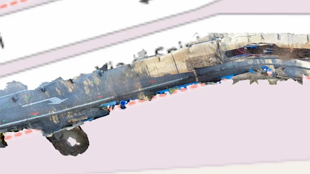
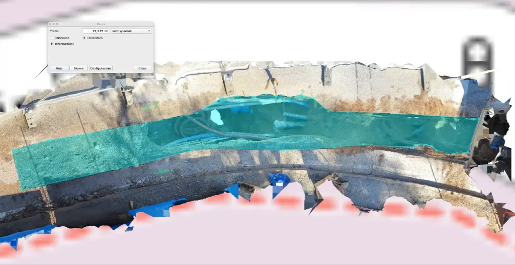
3D Photo Survey is ideal for various uses in distribution network management. One key application is easily obtaining precise, objective measurements of road pavement rehabilitations after underground operations. These measurements are captured from the office by analyzing the high-accuracy 3D models acquired via 3D Photo Survey.

Choose a full digital process and speed up reporting, avoiding overestimates of restored surfaces! 
Do you need more info? Visit our website:

Categories
products

3D Photo Survey to generate ultra-high-detail orthophotos

In managing distribution networks, Arcoda’s 3D Photo Survey is a valuable tool for multiple applications. One of these is the automatic processing of ultra-high-detail orthophotos of areas of interest. With this feature, you can effortlessly obtain images so detailed that they can be used for precise measurements and network mapping via your GIS – all without leaving the office.

This is just one of the applications made possible by this technology. If you want to learn more about all the other applications of 3D Photo Survey and how it works, please visit our website: