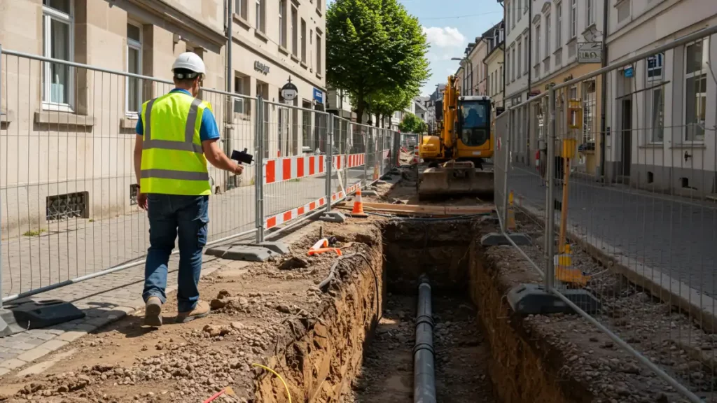
For utilities, mapping network infrastructure is crucial, both for immediate purposes like reporting completed work and for future inspections.
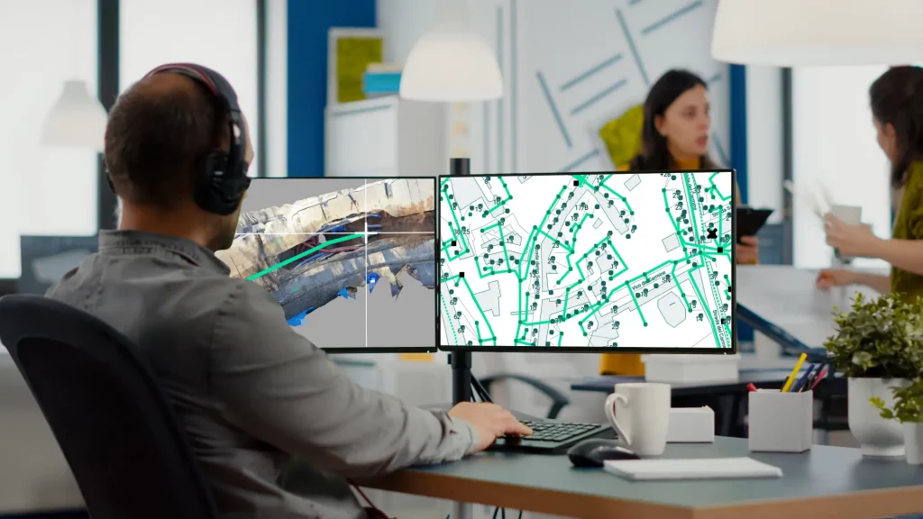
With the 3D Photo Survey app, you can now conduct surveys at excavation sites quickly and easily, obtaining georeferenced and oriented 3D digital models of your network assets. These models also provide underground infrastructure mapping, allowing you to perform all current and future measurements you need directly from the office. Additionally, once the excavation is backfilled, you can accurately and effortlessly relocalise these assets whenever needed.
And this is just one of the many applications of 3D Photo Survey.
Discover how this app can revolutionize your work on distribution networks!