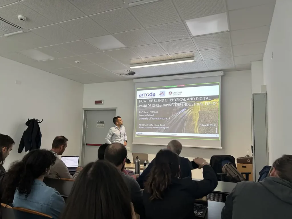
Congratulations to our colleague Lorenzo Orlandi, who has successfully completed his PhD in Industrial Innovation at the University of Trento, culminating a journey that began in 2021 within the MMLab (Multimedia Signal Processing and Understanding Lab) research group of the university’s Department of Information Engineering and Computer Science.
Lorenzo’s research focused on the development of digital 3D models based on the acquisition of real-world scenarios and their application through extended reality.
His final thesis, titled “How the blend of physical and digital worlds is reshaping the industrial field”, analyzes the challenges posed by the integration of digital and physical worlds, with a specific focus on the application domain of Arcoda.
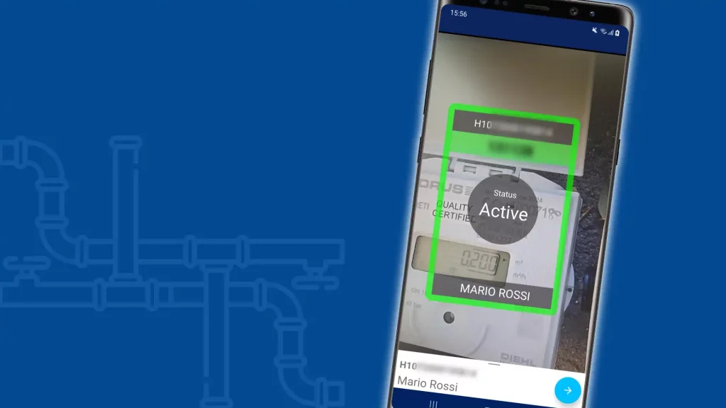
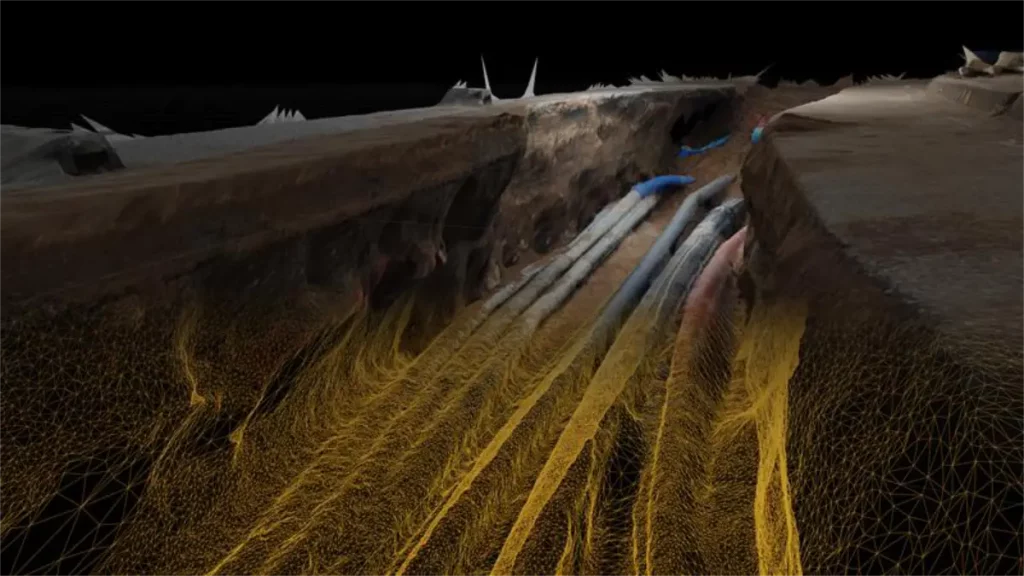
From Lorenzo’s extensive research efforts and with the support and expertise of the Arcoda team, 3D Photo Survey was born—an innovative system that revolutionizes key processes in distribution network management.
This technology enables the automatic generation of precise, realistic, and georeferenced 3D models of underground network excavation sites, using only a smartphone paired with a compact differential correction GPS receiver.
The resulting 3D models, viewable in augmented reality even after excavations are closed, streamline the management, traceability, maintenance, and safety of network infrastructure while reducing operational time and costs.
Once again, congratulations to Lorenzo for this remarkable achievement and for successfully translating academic research into tangible advancements in utility processes!