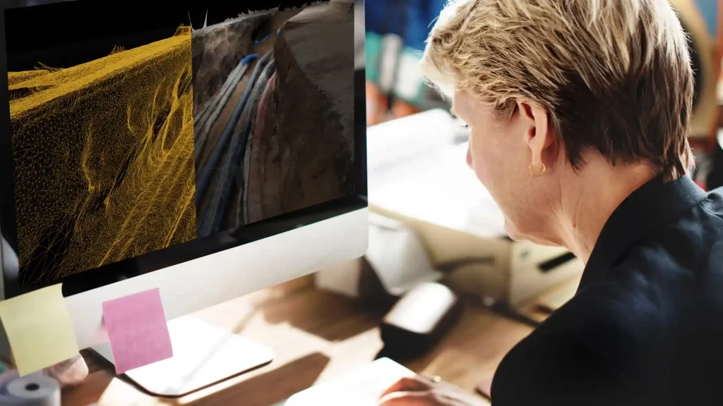
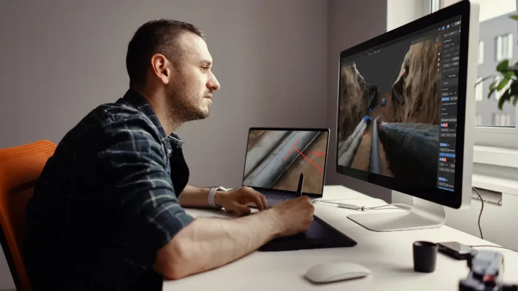
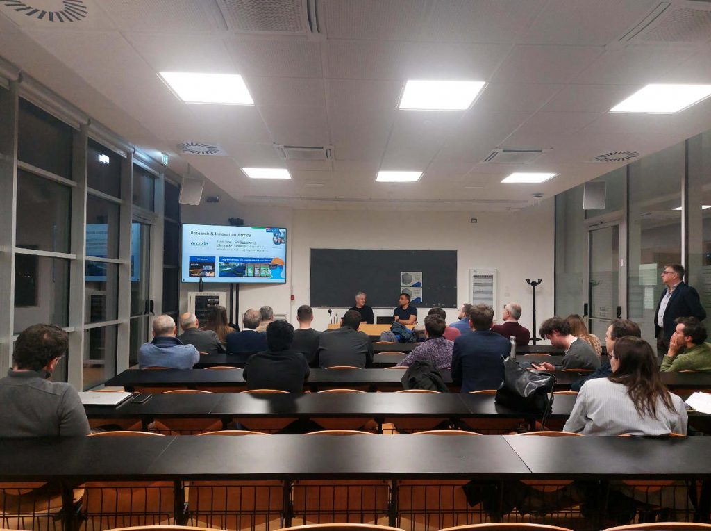
Categories
products

3D Photo Survey: inspections, final reports, audits and reporting directly from the office

One of the advantages of digitising utility excavations of the network infrastructure is the ability to virtually conduct final reports, inspections, reporting, and site inspections from the comfort of the office, whenever needed, even after the excavation has been closed.

By using a smartphone paired with a high-precision GPS and the 3D Photo Survey app, you can easily generate 3D models and high-resolution orthophotos that are precise, georeferenced, and properly oriented. All current and future reviews of the site will then be conducted directly on the digital model.

3D Photo Survey propels your company into the era of digital excavation sites!

Categories
products

Surveying of utility excavation sites gets easier: find out how with 3D Photo Survey

From today, excavation site surveys go digital!

All you need is an Android smartphone equipped with our 3D Photo Survey app and a precision GPS. After a short training session, surveys of your network infrastructure can even be entrusted to external personnel, such as the contractor’s workforce, who will be able to conduct surveys independently with just a brief training. Everything is simple and fast: no expensive or complex tools required, and no lengthy training. The survey results will be available as precise 3D models, already georeferenced and oriented, allowing you to reap all the benefits of digital technology.

Categories
events

Visit us at Ecomondo Water: discover quick and easy digital surveys done with your smartphone​​

Visit us at Ecomondo Water to discover how to survey utility excavation sites directly with your smartphone! You will find us at the Terranova Software stand (hall D7, stand 106).

If you deal with distribution networks, drop by our stand to see the latest Arcoda product. Our 3D Photo Survey app will allow you to survey excavation sites digitally simply by using your smartphone combined with a precision GPS. In just a few minutes of survying at the excavation site, you will obtain already georeferenced and accurate 3D models of the underground utilities, on which you will be able to perform all the analyses you need, even when the excavations are closed.