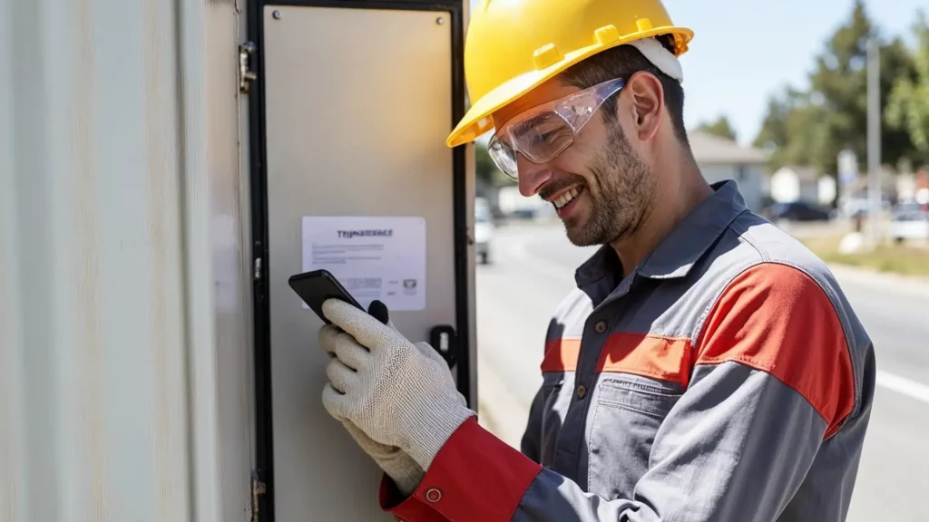
For distribution utilities, providing field workers with accurate, up-to-date and immediately accessible information is crucial.
it enables rapid intervention, reduces errors and frees the back office from unnecessary workload.
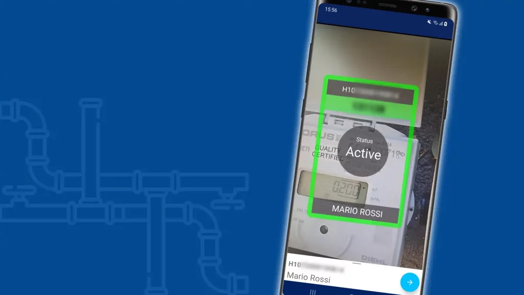
Arcoda Next is the mobile app for smartphones and tablets that fully meets these needs. This app, by combining data from your information systems such as GIS, document management, CRM, ERP, brings extremely innovative functionality into the hands of the field worker, including for example the ability to explore distribution networks in augmented reality.
By equipping your teams with Arcoda Next you will take a leap forward in productivity and service quality. Thanks to fully digital processes that are easily managed through this app, you will speed up interactions between field staff and back office, establishing an exchange of information that is precise, complete, and already suitable for direct reception by your business systems.
In addition, some of the functionalities that Next provides will allow you to do with your smartphone what your utility had to achieve by resorting to dedicated instrumentation or manual procedures whose time and costs are far from negligible.
Choose Next to work better, save money and increase the quality of the service provided.