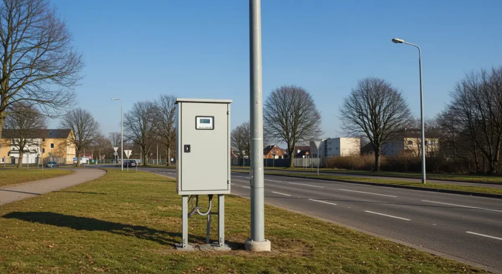
3D Photo Survey is not exclusively designed for utility excavations. This powerful app for carrying out three-dimensional surveys with your smartphone can in fact be used to acquire information on surfaces and above-ground objects. A concrete example is the three-dimensional survey of infrastructure such as electrical substations and gas reduction units.
Why 3D Photo Survey to obtain these 3D models?
Having an accurate, georeferenced and oriented model is extremely useful for digitally surveying all owned infrastructures and monitoring their characteristics. 3D models processed by 3D Photo Survey allow measurements to be taken directly from the back-office, often without having to send technical staff to the site.
Adopting systems such as 3D Photo Survey constitutes a significant time and cost saving and accelerates the enrichment and maintenance of the company’s database.
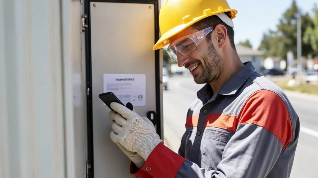
For distribution utilities, providing field workers with accurate, up-to-date and immediately accessible information is crucial.
it enables rapid intervention, reduces errors and frees the back office from unnecessary workload.
Arcoda Next is the mobile app for smartphones and tablets that fully meets these needs. This app, by combining data from your information systems such as GIS, document management, CRM, ERP, brings extremely innovative functionality into the hands of the field worker, including for example the ability to explore distribution networks in augmented reality.
By equipping your teams with Arcoda Next you will take a leap forward in productivity and service quality. Thanks to fully digital processes that are easily managed through this app, you will speed up interactions between field staff and back office, establishing an exchange of information that is precise, complete, and already suitable for direct reception by your business systems.
In addition, some of the functionalities that Next provides will allow you to do with your smartphone what your utility had to achieve by resorting to dedicated instrumentation or manual procedures whose time and costs are far from negligible.
Choose Next to work better, save money and increase the quality of the service provided.
Today, utilities face the pressing need to modernize and digitize their network infrastructure management processes.
Reliance on paper and data scarcity result in slow, inefficient, and error-prone workflows. To optimize underground infrastructure management and obtain highly accurate, realistic 3D models, utilities are seeking faster, more robust, and effective solutions.
Currently, data digitization remains limited and plagued by challenges:
Data collection requires qualified personnel to visit excavation sites repeatedly, wasting time and resources.
Moving information from paper to GIS systems is slow and prone to errors, further delaying workflows.
Laser scanners are expensive, fragile and require specialized expertise. The resulting point clouds demand lengthy processing and are cumbersome for mobile use without additional work.
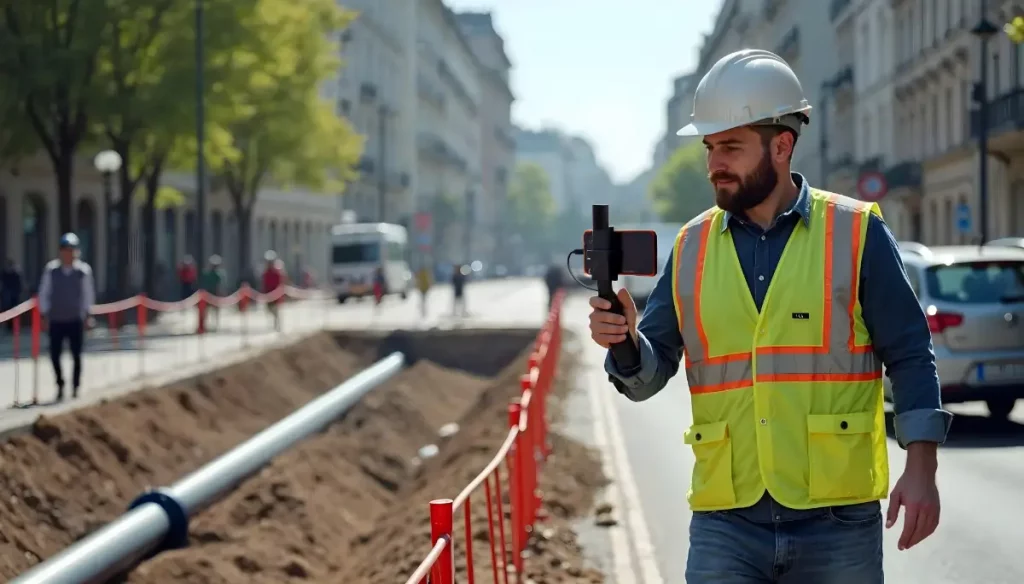
3D Photo Survey: the app for expeditious excavation survey
The 3D Photo Survey app simplifies excavation digitization through a fully automated, intuitive process. It generates a 3D model of the excavation, accessible both on-site and in back-office.
No specialized skills are needed: operators simply capture images of the excavation using the app, as if recording a video. The app uploads time- and location-stamped images to the cloud, where they are processed into georeferenced 3D models and ultra-high-resolution orthophotos.
Requirements for 3D scanning:
A smartphone to “scan” the excavation.
A GNSS-RTK receiver paired with the smartphone.
With 3D Photo Survey, excavationsites go digital!
3D Photo Survey digitises utility excavation sites by creating 3D models and orthophotos of network infrastructure during excavation and setting phases. These models are stored in standard formats in the cloud and can be integrated directly into corporate GIS for future use.
Thanks to these digital models, from their desks and without the need to send personnel out into the field, operators will be able to take precision measurements directly on the digital models, map their network and have a ‘digital cadastral database” of their assets. This solution is also ideal to budget executed works, offering a faster, more accurate and efficient process.
Embrace digital convenience: simplify operations and reduce time and costs!