For utilities, distribution network data (GIS, document management, CRM, etc.) are crucial for managing their operations.
A quality digital data base is built over time, and is the result of significant investments in technology, process reorganisation and know-how building. It is therefore important to try to get the most out of the wealth of information that has been built up over time, which is why utilities decide to adopt the Arcoda Next app.
Thanks to this app and based on the data already available, network distributors get new, highly innovative functionalities, and make them available directly in the hands of field workers.
If, until now, your operators interacted with the company’s GIS with their smartphone, with Arcoda Next they will discover the full power of an app that can go one step further. Next connects information from your various GIS, ERP, CRM, document management systems and so on, integrating it into a single app that will harness this data to offer a range of innovative features.
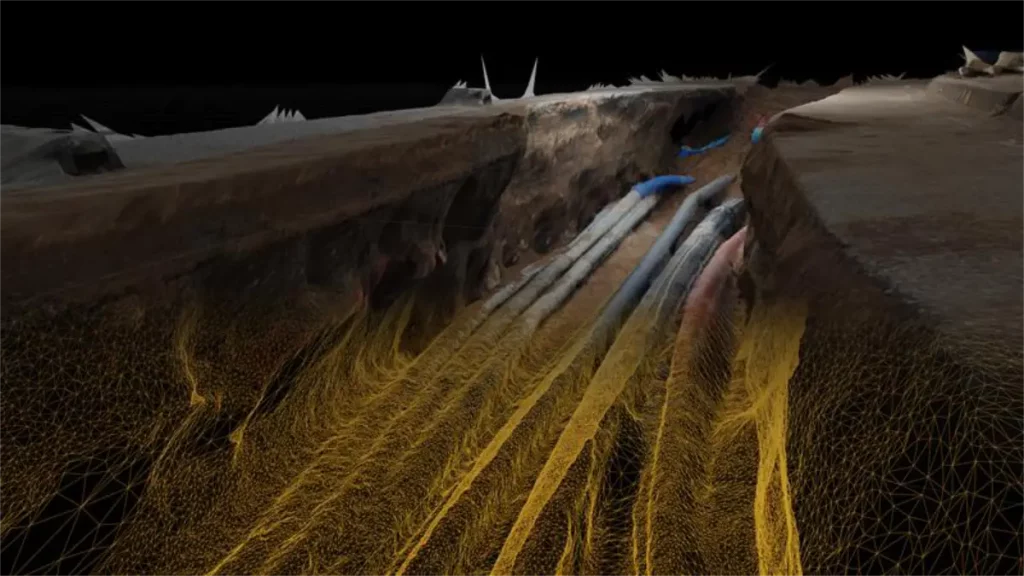
Discover, for example, augmented reality on smartphones, which will allow your operators to explore distribution networks in a more realistic and immersive way.
Stability and performance are also outstanding: Next does not need internet connectivity, because it is a specially designed application that works 100 per cent server-independent.