Categories
products

Surveying of utility excavation sites gets easier: find out how with 3D Photo Survey

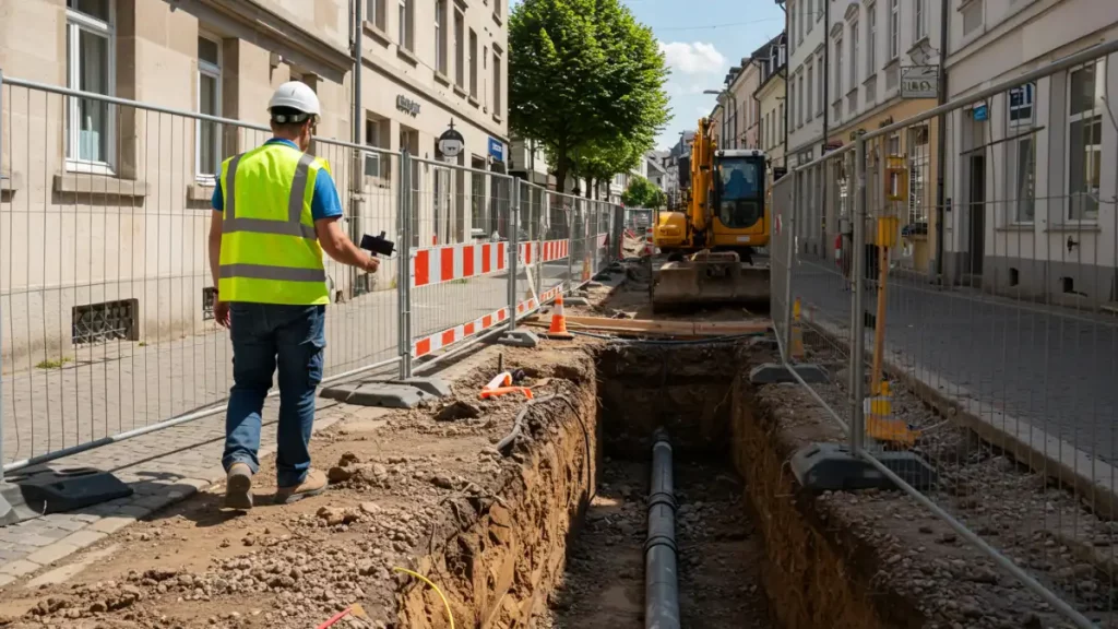
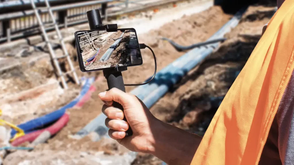
From today, excavation site surveys go digital!

All you need is an Android smartphone equipped with our 3D Photo Survey app and a precision GPS. After a short training session, surveys of your network infrastructure can even be entrusted to external personnel, such as the contractor’s workforce, who will be able to conduct surveys independently with just a brief training. Everything is simple and fast: no expensive or complex tools required, and no lengthy training. The survey results will be available as precise 3D models, already georeferenced and oriented, allowing you to reap all the benefits of digital technology.

Categories
categoryless

Deval and Arcoda Next: the future of networks is digital

The 4,000 kilometres of electricity grid that Deval manages in the Aosta Valley tell the story of the people who work there every day.

24 hours a day, in summer and winter, this utility supplies electricity to homes, businesses and public services, in the valley floor as well as in the mountainous areas, in even the most remote ones. 

Next, the innovative Arcoda app adopted by Deval on its path of a continuous process of digitisation, brings into the hands of the technicians all the information support that field workers need to carry out interventions based on reliable, up-to-date and always available information. The management of distribution networks, in fact, is complex and requires reliable IT tools with the highest levels of performance, and Next – due to its innovative features and its ability to operate 100% independently of connectivity and server – fully meets these requirements.  

Categories
products

Excavation sites surveys: save time and money in the activities of verifying and final reporting of the work performed

A digital revolution for excavation site surveys!

With our 3D Photo Survey app, utilities can conduct excavation surveys directly using a smartphone. With just a few minutes of survying on-site, the system generates precise, georeferenced, and oriented 3D models of network infrastructure.

The resulting models are standardized and compatible with the most widely used software or can be imported into your GIS, enabling easy reporting of completed work—even after excavations are backfilled—all without leaving the office!

If you want to reduce survey costs, speed up processes, and unlock new digital features for the future of your networks, choose the simplicity of 3D Photo Survey.