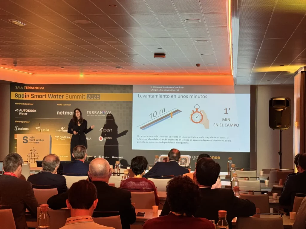
The Spanish-language recording of the Terranova–Arcoda presentation at the Spain Water Summit 2025 is now available on YouTube. The event represents a key forum for discussion on innovation, digitalisation and operational management within the urban water cycle.
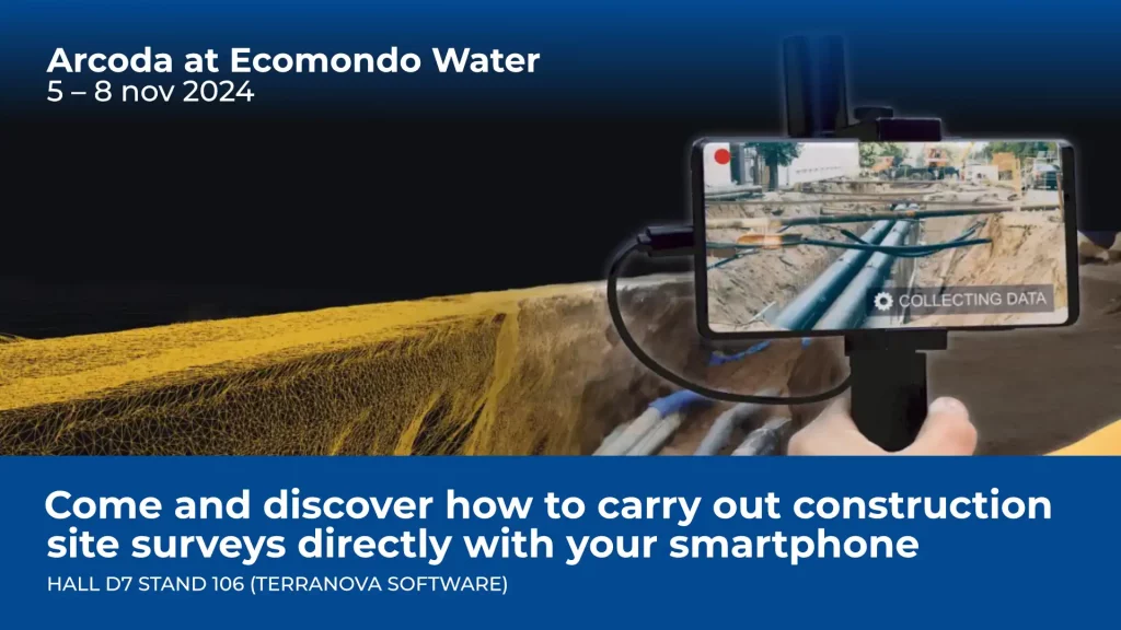
During the event, held in Madrid last September, Arcoda had the opportunity to present 3D Photo Survey, our application designed to carry out digital surveys of utility excavation sites directly from a smartphone, using images captured on site with the device’s camera.
In her presentation, our sales consultant Ana Serna highlighted how the system enables the collection of a large amount of technical information in just a few minutes, including:
- Accurate measurements of lengths, diameters, depths, surfaces and volumes;
- Identification of materials and interferences with other networks;
- Generation of high-resolution 3D models and orthophotos, accessible through a web-based cartographic portal.
Thanks to the publication of the video, the content of the presentation is now accessible not only to event attendees, but also to all distribution utility professionals interested in gaining deeper insight into the digitalisation of utility excavation sites.