Utilities tasked with relocalising underground infrastructure, after excavation has been closed, face significant complexities, leading to higher operational costs.
Once the excavation is backfilled, underground infrastructure is no longer visible, making inspection difficult without reopening the site. This entails bureaucratic delays and the logistical costs of setting up a new excavation site.
Current technologies do not always provide a solution. For example, ground-penetrating radar (GPR) has limitations related to depth, backfill materials, and interference, often making it impossible to detect anomalies without reopening the site.
To overcome these challenges, it is mandatory to adopt effective strategies.
If surveys, conducted before excavation closure, lack precision, incomplete or inaccurate data may result, complicating the exact relocalising of network infrastructure.
The accuracy of these operations directly impacts future excavation and maintenance work. Poor initial surveys increase the risk of damaging underground networks and jeopardize the safety of workers and consumers.
The solution? Digitize data before excavation is closed with 3D Photo Survey
Advanced surveying technologies, data digitization, and improved documentation quality before excavation closure can enhance efficiency and reduce errors.
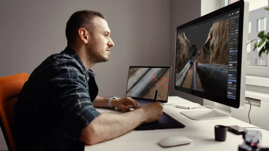
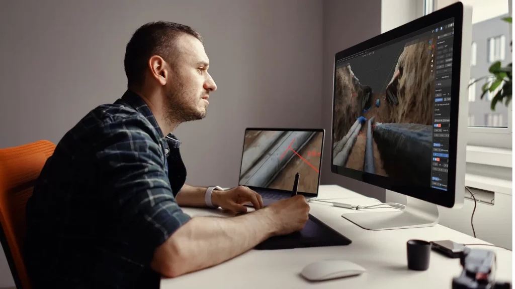
The 3D Photo Survey app simplifies excavation digitization through a fully automated, user-friendly process. It generates a 3D model of the excavation, accessible on-site, in back-office, or directly within the company’s GIS.
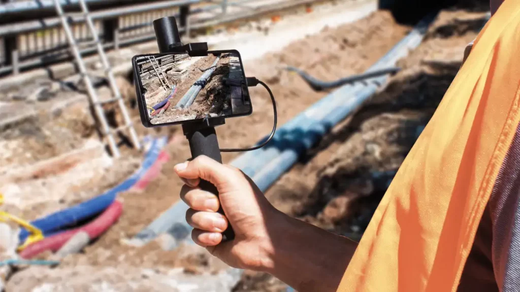
No specialized technical skills are required: a smartphone paired with a GNSS-RTK receiver is all that’s needed to scan the site. The app uploads images – tagged with time and geographic data – to the cloud, where they are processed into georeferenced 3D models and ultra-high-resolution orthophotos.
With these models, from their desks when the excavation is closed, employees will be able to take precision measurements directly on digital models, map their network and have a ‘digital cadastral database” of their assets.
Digital models remain permanently accessible in GIS, in standard formats, for:
- Future inspections without reopening the excavation.
- Detailed reporting of completed excavations and restorations.
- Reliable and accurate measurements computation directly on digital models.