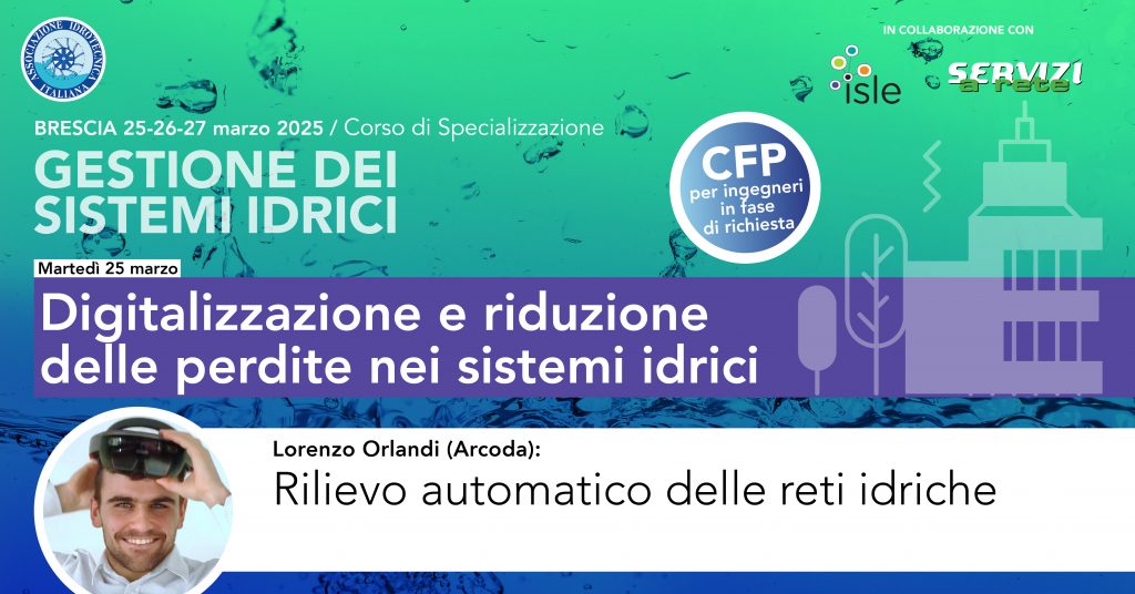
Arcoda will take part in the ‘ISLE 2025’ specialisation course (Brescia, 25-26-27 March). On the first day, dedicated to the digitalisation and the reduction of losses in water systems, Lorenzo Orlandi (Arcoda) will speak about the automatic survey of water networks.
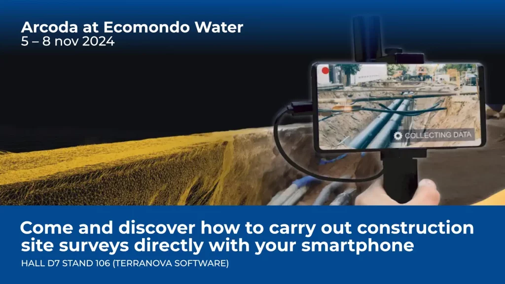
During the speech, we will show the advances in technology and how it is possible to automatically acquire digital models of distribution networks simply with a smartphone and the dedicated Arcoda app.